


India’s push for digital self-reliance is extending to navigation too, and homegrown app Mappls — developed by MapmyIndia — is fast gaining popularity. The service made headlines on October 11, when Union Minister Ashwini Vaishnaw publicly tried out its features, giving it a big boost in visibility.
Designed as a privacy-first alternative to Google Maps, Mappls aims to provide navigation built specifically for Indian conditions while keeping user data stored securely within the country.
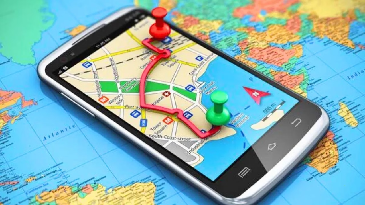
Built in India, for India
The app is the product of a strategic partnership between MapmyIndia (based in New Delhi) and ISRO, which began in 2021. By combining ISRO’s satellite imagery with MapmyIndia’s technology, the app delivers highly detailed and accurate maps across the country. And because all data is stored on Indian servers, privacy remains a key focus.
Smart Navigation and Driver-Friendly Tools
Free to download on both Google Play Store and Apple App Store, Mappls is packed with features to make driving easier. It works with Android Auto and Apple CarPlay for smooth in-car use.
Some standout tools include:
-
3D Junction View for clear guidance at tricky flyovers and intersections
-
Live Traffic Intelligence with real-time updates on congestion, speed cameras, and diversions
-
Toll Savings Calculator using official NHAI data to estimate highway travel costs
Accessibility and Unique Features
To reach India’s diverse user base, Mappls supports nine Indian languages for voice navigation, including Hindi, Tamil, and Bengali.
It also brings some clever tools to the table:
-
Mappls Pin: A six-character digital code to simplify complicated addresses
-
RealView Maps: 3D, lifelike visualizations of landmarks for easier recognition
-
DigiPin Integration: Powered by India Post to improve address accuracy


